Media location chart
Discover the site
To understand the utility of having a new quay downstream from the current port of Treguier, it is necessary to know the site well. The best way is obviously to come and sail on the river or to fly over it.
If not, we have selected a few shots, which can give an overview of the situation.
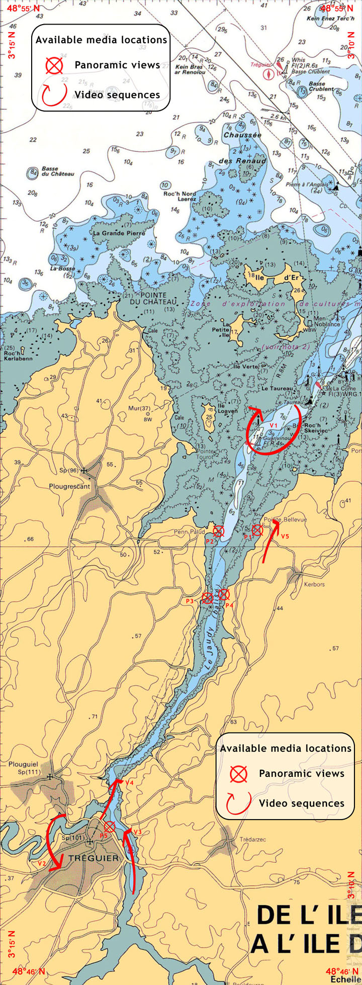
The map below allows you to find the locations of these shots. .
They are available in two formats, panoramic views and short video sequences. .
The menu on the left side of the page allows access to these sequences.
.